Royston (Iceni) Weather Station
Daily Weather Observations - March 2010
March 2010 Weather Review
March was a dry month, but with average temperatures and sunshine.
Although the mean temperature in March was close to average, this statistic conceals the fact that the month was really one of two halves of quite different temperature regimes.
For instance, the mean temperature (based on 5 minute observations) for the period 1st/15th was 3.4°C, whereas the equivalent figure for the period 16th /31st increased to 9.2°C! At mid-month the mean temperature was running at 3°C below average. Overall it was the coldest March since 2008 only.
The mean daily maximum temperature in March was 11.0°C, which is 0.6°C above the 30 Year (1976/2005) average. The mean night minimum temperature was 0.4°C below average at 3.1°C. The highest daily maximum temperature recorded in the month was 17.3°C on 24th whilst the lowest night minimum temperature was –6.3°C on 8th. This was the lowest temperature recorded in March since 3rd March 1986.
The lowest daily maximum temperature in the month was 5.0°C on 10th. In contrast the highest night minimum temperature was 11.0°C on 20th. Totals of 6 air frosts and 14 ground frosts occurred in March. Air frost duration was 58.8 hours.
The mean earth temperature at 30 cms depth as recorded at 0900 GMT daily was 6.1°C. The respective highest and lowest earth temperatures recorded in the month were 9.4°C on 30th and 3.0°C on 8th and 9th.
The rainfall regime in March similarly exhibited sharp differences between the two halves of the month. The first half of March was very dry and by 18th only 1.3 millimetres rainfall had been accumulated. From 19th to 31st rainfall totalled 23.6 millimetres, giving a monthly total of 24.9 millimetres, which is only 59% of the 30 Year (1971/2000) average. It was the driest March since 2003.
The number of "rain days" (0.2 millimetres or more) in March was 14, whilst on 7 of these days rainfall exceeded 1.0 millimetre. The wettest day of the month was 30th with 4.8 millimetres rainfall. No snow was observed to fall in March.
Rainfall for the first 3 months of 2010 totalled 131.4 millimetres, which is 102% of average. The wet February just made up for the drier than average months January and March.
It was the dullest March since 2005 but sunshine fell only 2% short of the 30 Year (1971/2000) average at 104.5 hours. The sunniest day of the month was 7th with 10.5 hours sunshine. Only 3 days in the month were completely sunless, although 10th came close with only half a minute of sunshine!
The mean wind speed in March was 6.8 mph and the maximum wind gust speed recorded was 34 mph on 31st. The highest daily (00/00 GMT) mean wind speed was 12.9 mph on 31st, whilst the lowest daily mean wind speed was 2.2 mph on 2nd.
As regards daily wind directions at 0900 GMT the relevant analysis shows NORTH 1 day, NE 6, E 1, SE 2, S 6, SW 6, W 5, NW 4 and CALM 0.
The mean MSL air pressure in March was 1015.8 mB, which is approximately 1 mB above the 30 Year (1976/2005) average. The highest and lowest air pressure values recorded in March were 1035.0 mB and 980.5 mB on 7th and 31st respectively.
The mean relative humidity in the month was 77.8%. The highest daily (00/00 GMT) mean relative humidity was 88.8% on 20th whilst the lowest daily mean was 63.1% on 16th. The absolute lowest relative humidity reading in March was 35% at 1440 GMT on 18th.
Fog (visibilty < 1000 metres @ 0900 GMT) was observed on just one day (11th) in March.
Richard Barker
Richard Barker
Met. Observer, Royston (Iceni) Weather Station
5th April 2010

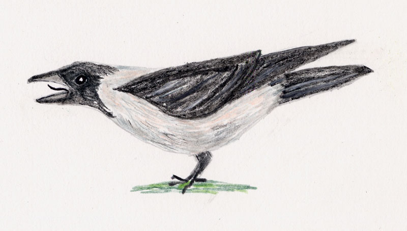
Royston Crow (Corvus Cornix)
Return to Daily Weather Observations - March 2010 header page